
Siseebakwet Lake Information & History

A Brief History by John Otis
With the help of Attorney Cruz Alexander from our little lake, I started the SBW Lake Association in 1970, the same year that the DNR came out with a lake classification system for all lakes in the state. Ours was the first lake association organized in the county, while Pokegama got organized the next year. At the time, our lake was classified as “General”, the least protected in environmental terms, as were most of the big, long-time commercial type lakes.
Our first big challenge was a big commercial camp ground that wanted to put down on the east side of the lake. We got organized and successfully fought them off with pressure on the local county commissioner.
Our next big adventure was to try to reclassify our lake from "General" to “Recreational”, which would require lots to have 150 feet of lakeshore rather than the mere 100 feet—reducing the potential residential density of the lake. At that time, the state had all lakes classified in three parts: General, Recreational, and Environmental—from the least restrictive to the most.
This attempt wasn’t so easy, as developers, ready in the waiting to try to plot off the smallest lots they could throughout the county, stormed the courthouse to defeat our attempts. But in the meantime, other lake residents woke up to what was going on and Wow! The whole county was soon up in arms over lake density causing other lakes to organize such as ours.
But in the end, the lake organizations won out causing the county to institute its own lake classification system, which was an upgrade from the state’s, raising both the minimum lot sizes and shorelines requirements.
So there we are. My concern now is that lake residents treat the lake with respect, keeping their lots and its shoreline in its most natural state.
- John W. Otis

View from Otis Lodge 1900s
OUR LAKE AND SUGAR HILLS - The Story of How They Were Formed - by Don Osell
We live in a beautiful part of the world with a fascinating history. Ten thousand years ago – short in geologic time – a massive glacial ice sheet covered this area. Hard to believe, but the ice sheet was over a mile thick. As the glacier advanced it operated like an incredible earth-mover drastically rearranging all the landscape under and before it. It gouged out deep and wide holes and created hills (moraines geologists call them). Lake Siseebakwet and Sugar Hills came about this way. As the glacier approached from the north it dug deep into the earth forming the catch-basin that eventually formed our lake, and pushed the scooped-out sand, rock and gravel south and deposited it in the form of a high, wide moraine we now refer to as Sugar Hills.
Skiers and hikers are familiar with the Thunders, the hills’ highest point at 1,745-feet above sea level; and, also, the highest piece of real estate in Itasca County. By comparison, the lake is at 1,329 feet, or 269 feet below the Thunders. If you haven’t been up there the view is magnificent. You can see the whole of Siseebakwet and beyond Loon Lake to the north. Those who have studied it place the glacial sediment on the hills at well over 200-feet deep. The Sugar Hills moraine stretches over 30 miles in an east-to-west direction.
Another reminder of the glacial activity are the huge boulders lying randomly around the area that beg the question: How did they get there? There’s one of these a short distance off County 449 on South Sugar Lane. It measures over 5-feet high and 6-feet wide. My Google rock estimator puts that at about 30,000-pounds. Yes, there’s mining equipment that could move that much but the glaciers moved them around like so many marbles.
Down at the lake, the deepest spot measures 105-feet. Hike around the Forever Wild area, however, (thank you Mary Boltock and Jean Rice) and you will notice evidence of past shorelines when the lake was much higher than it is now. How high the lake was in the past is beyond my knowledge. Scientist describe Siseebakwet as a marl lake – high in calcium carbonate. The deep blue-green, aquamarine color is a beautifying characteristic cause by calcium carbonate dissolved in the water. If the lake were ever threatened with acidification through acid rain the calcium carbonate would provide superior protection.
Aren’t we fortunate to be living in a place where people spend money to come on vacation? And it’s important to preserve this jewel for future generations. That’s an important part of the mission of our lake association.
If you aren’t already a member won’t you please join? It’s an investment in tomorrow.
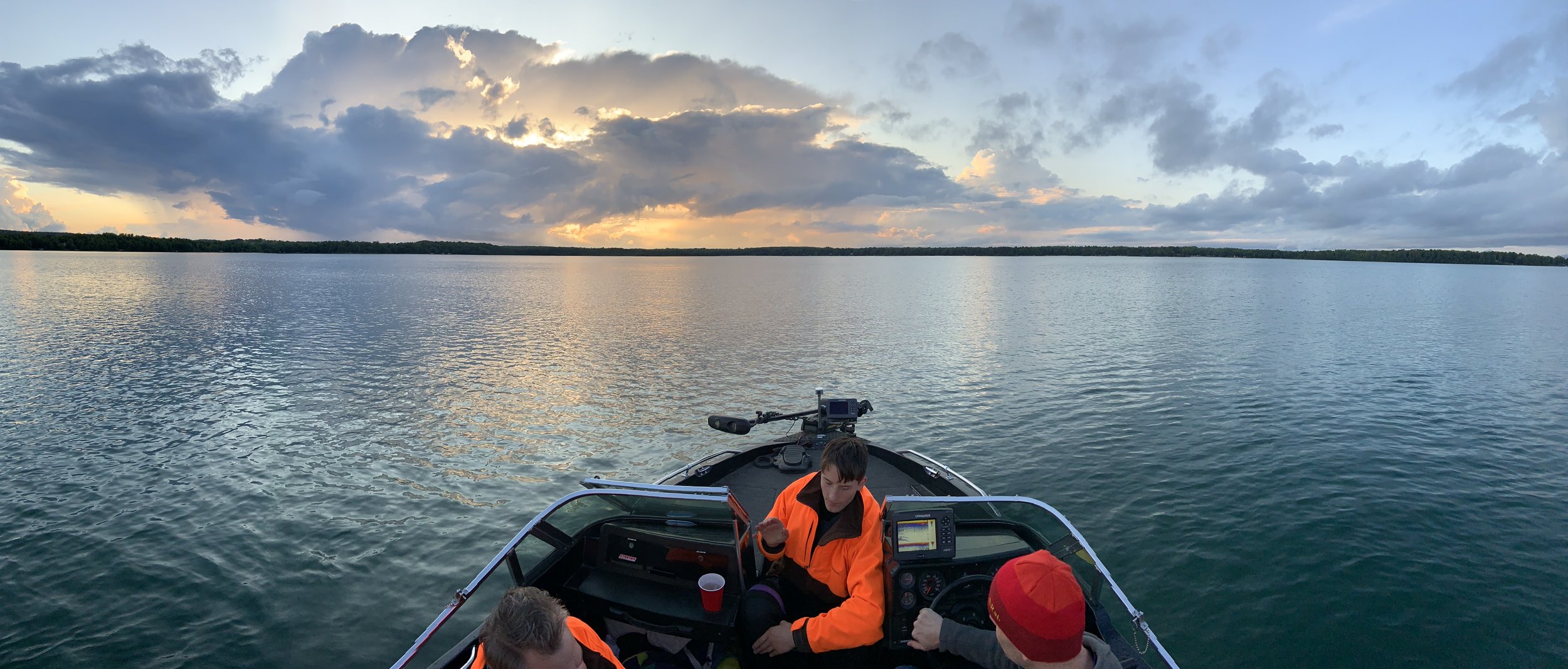
Here, Fishy...
Fisheries Lake Surveys and Fish Stocking Reports
The Minnesota Department of Natural Resources (DNR) website provides data on fish stocking and fisheries surveys. The DNR surveys Siseebakwet every 6 years, the next survey will be in 2018. South Sugar is surveyed every 12 years, the next survey in 2018. The survey provides information on the type of species trap, the type of trap used, number of fish, length, average weight and a status of the fishery. The DNR website also provides information of the fish stocking report. Fingerling walleyes are stocked in Siseebakwet on odd years, 2017 will be the next stocking. South Sugar is not on a stocking program, with the DNR. The information below was extracted from the DNR website at the sites listed below. The DNR website is a great source of information and explains the various terms used in these reports.
Siseebakwet Lake
Click here to download the Siseebakwet Fish Survey
Fishery Report: http://www.dnr.state.mn.us/lakefind/showreport.html?downum=31055400
Click here to download the Siseebakwet Stock Report
Stock Report: http://www.dnr.state.mn.us/lakefind/showstocking.html?downum=31055400
Survey: http://www.dnr.state.mn.us/lakefind/showreport.html?downum=31055500
crysTal clear
Water Quality Monitoring Program
Lakes are classified according to their trophic state. "Trophic" means nutrition or growth and describes the lakes in terms of productivity (weeds) with nitrogen and phosphorous levels. The higher the levels the larger the number is on the Trophic State Index (TSI). An oligotrophic lake (Siseebakwet TSI 36.5) has low nutrient concentrations and low plant growth. A eutrophic ("well-nourished") lake has high nutrients and high plant growth normally found is the southern part of Minnesota with agricultural regions enriched with fertilizers. Mesotrophic lake (South Sugar TSI 41) fall somewhere in between eutrophic and oligotrophic lakes.
Click HERE to read more about Siseebakwet Lake's Water Quality Monitoring Program.
ice, ice, baby
WINTER is coming, whether we like it or not! Here is the data for Sugar Lake's past In/Out Ice Dates:
| Ice Out Date | Ice In Date | Days of Open Water |
|---|---|---|
| April 29, 1995 | Nov. 17, 1995 | 212 |
| May 13, 1996 | Nov. 25, 1996 | 192 |
| April 26, 1997 | Dec. 8, 1997 | 226 |
| April 12, 1998 | Dec. 20, 1998 | 252 |
| April 17, 1999 | Dec. 17, 1999 | 244 |
| April 5, 2000 | Dec. 7, 2000 | 246 |
| April 29, 2001 | Dec. 20, 2001 | 235 |
| April 19, 2002 | Dec. 2, 2002 | 227 |
| April 24, 2003 | Dec. 2, 2003 | 222 |
| April 22, 2004 | Dec. 15, 2004 | 238 |
| April 15, 2005 | Dec. 3, 2005 | 232 |
| April 14, 2006 | Dec. 1, 2006 | 230 |
| April 24, 2007 | Dec. 2, 2007 | 222 |
| May 7, 2008 | Dec. 7, 2008 | 215 |
| April 28, 2009 | Dec. 15, 2009 | 231 |
| April 4, 2010 | Dec. 3, 2010 | 243 |
| April 27, 2011 | Dec. 6, 2011 | 223 |
| March 24, 2012 | Dec. 11, 2012 | 262 |
| May 16, 2013 | Nov. 30, 2013 | 198 |
| May 9, 2014 | Nov. 27, 2014 | 202 |
| April 15, 2015 | Dec. 26, 2015 | 254 |
| April 16, 2016 | Dec. 16, 2016 | |
| April 9, 2017 | Not Available | |
| May 7, 2018 | Not Available | |
| April 30, 2019 | Not Available | |
| April 26 2020 | Dec. 20, 2020 | |
| April 6, 2021 | December 21, 2021 | |
| May 11, 2022 | TBD |